Using Drones for Mapping and Surveying
Using Drones for Mapping and Surveying This video is the recording of our webinar about using drones for Mapping and[…]
Read moreAll the latest developments in Drone Technology

Using Drones for Mapping and Surveying This video is the recording of our webinar about using drones for Mapping and[…]
Read more
New Drone Camera Technology Auto Target Tracking Digital Eagle develops the VTOL Drone with infrared thermal camera. The camera is[…]
Read more
Future Tech in Our Skies UPS announced it has successfully tested a drone that launches from the top of a[…]
Read more
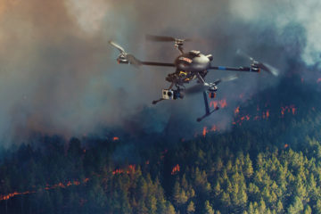
How Drones could change Future of Fighting Wildfires Dangerous conditions in California are forcing some departments to look for alternative[…]
Read more
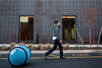
Gita Piaggio’s robot, called Gita, uses cameras and maps to follow you everywhere and carry your stuff.
Read more